Here comes our latest surprise at Hey Iceland! A selection of hiking trails around Iceland to satisfy the outdoor enthusiast in you! Spread over the country, our selection of hikes are short, duration varying from 0.5 to 4.5 hours, with moderate levels of difficulty - from Easy to Medium.They have the great advantage of being located in the vicinity of our accommodation partners. We at Hey Iceland are delighted to sponsor these trails on the Wapp walking app (available on Google Play and in the Apple Store), which allows you to:
- Check the detailed itinerary and prepare accordingly
- Download the hiking route for free on all your devices and get real-time GPS assistance
- Learn interesting facts along the way and read about legends that have arisen from the place
- Warn the 112 service of your departure for safety reasons
- Browse more trails nearby!
After the Northern region and Southern region, this week, we invite you to check 4 trails in the Eastern region! Happy hiking!
SKORUVÍK AND SKÁLAR
- Location: Skoruvík and Skálar
- GPS Coordinates: 66.3593570,-14.7603
- Region: East
- Duration: 3 hours
- Difficulty: Medium
- Distance: 12539m
- Height: 7m
- Increase: 70m

Photo Source: East.is
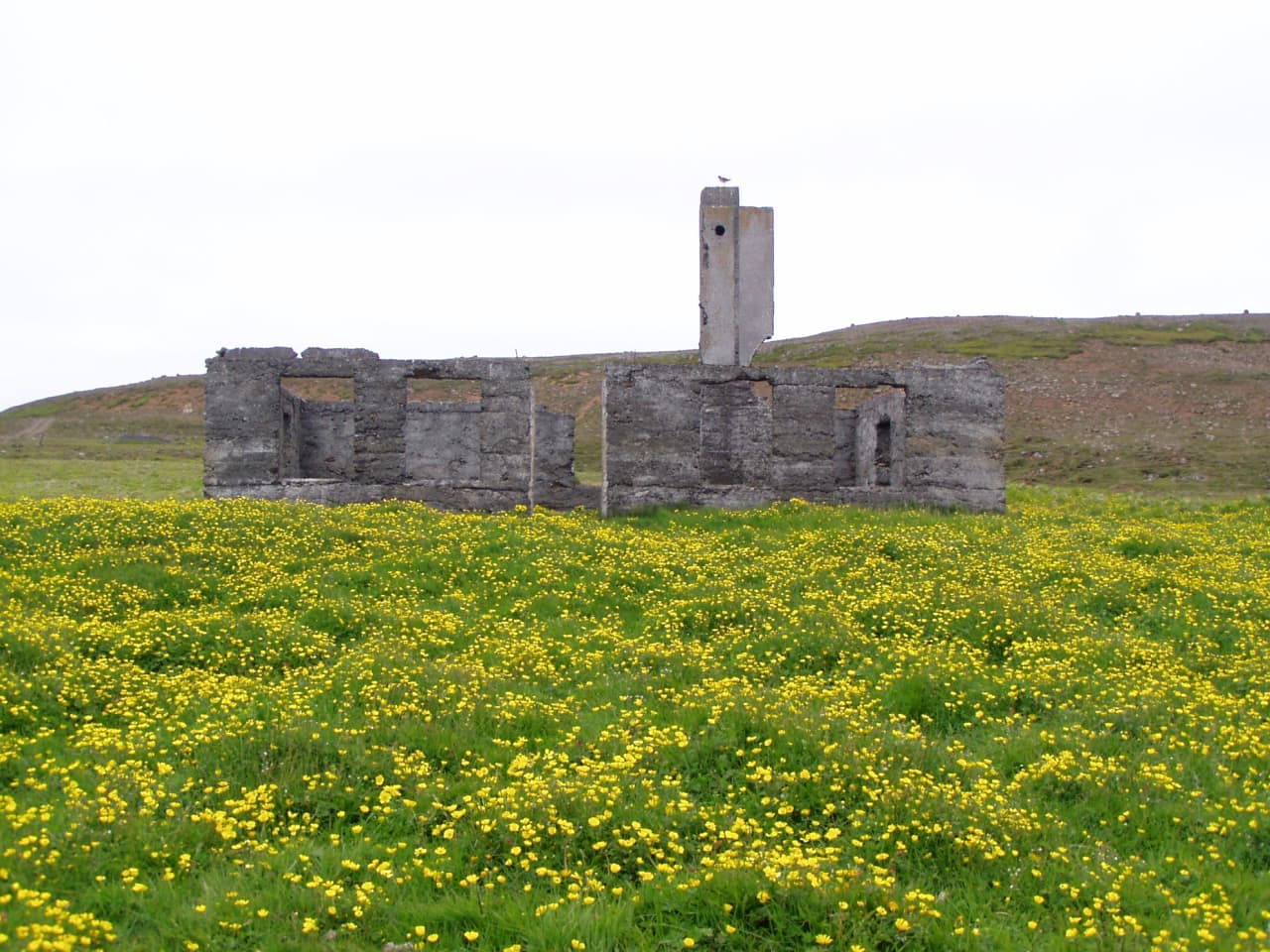
The hike from Skoruvík to Skálar lies across Langanes, through historical places, but Skoruvík was the last inhabited farm on the peninsula. Skálar presents ruins of old buildings, back to times when this was a fishing village, at the beginning of the 20th century. It was deserted around the middle of the century, among other things because of landmines which exploded on the beach, destroying buildings and the pier. From Skálar, walk towards the cemetery at the top of the cliff on the northern side of Skálabjarg.
Enjoy the first birdwatching platform of its kind in Iceland, extending some 10 meters out from the cliff, for a spectacular and privileged observation of the seabird colonies. Northern Gannet, Kittiwake, Northern Fulmar, Puffin, Razorbill, Guillemot, just to name a few!
The hike is suitable for everyone and easy to get to in Summer, but otherwise it is advisable to ask locals about the conditions.
Accommodation nearby: Ytra Lón Guesthouse - Ytra-Áland in Þistilfjörður
STÓRURÐ (GIANT BOULDERS)
- Location: Stórurð
- GPS Coordinates: 65.5650300,-14.0023
- Region: East
- Duration: 4 hours
- Difficulty: Medium
- Distance: 12367m
- Height: 396m
- Increase: 438m

Photo Source: East.is
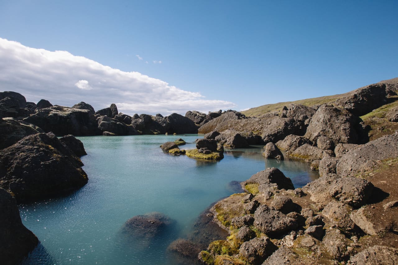
Stórurð is without doubt one of the most magnificent natural phenomena in East Iceland and even further afield. It is believed that the place’s signature tuff boulders fell from Mt. Dyrfjöll onto ice, which then carried them along the valley, thus creating this magical world. Stórurð’s unique landscape is hard to put in words, but it is, to put it mildly, spectacular. Grassy meadows and very deep ponds are strewn with boulders the size of apartment buildings.
Mt. Dyrfjöll dominates this amazing scene, and the mountains themselves look majestic from any direction. Stórurð generally gets a lot of the snow, and it is not advisable to hike up there without guidance until at least July 10th. If you get there around that time or earlier, it is important to ask the locals about the conditions before heading off, they can be very different from one year to the other. You can park your car where the trail starts in Vatnsskarð, but don’t forget to have means of transportation waiting at the other end, or take the Borgarfjörður road back up to the pass.
Accommodation nearby: Borg Guesthouse - Blábjörg Guesthouse - Ekra Cottages
FARDAGAFOSS
- Location: Fardagafoss
- GPS Coordinates: 65.268079,-14.332743
- Region: East
- Duration: 1 hour
- Difficulty: Medium
- Distance: 2003m
- Height: 144m
- Increase: 148m

Photo Source: East.is
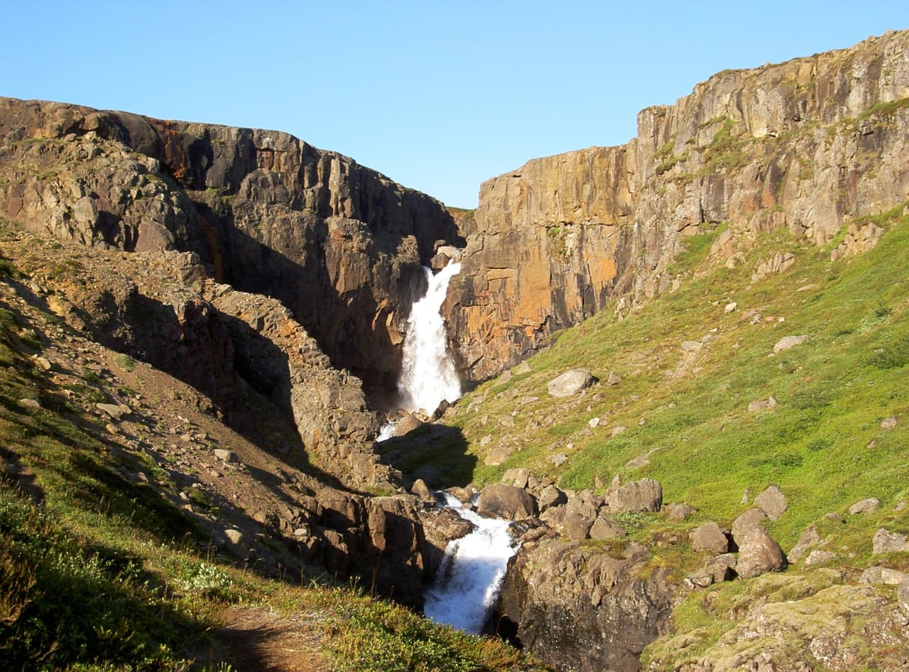
The waterfall Fardagafoss lies at the roots of Fjarðarheiði, about 6 km from Egilsstaðir. The trail upto the waterfall is beautiful, with a gorgeous view of Fljótsdalshérað. The waterfall is 20 metres high, the top one of three in Miðhúsaá River. The other two are Gufufoss and Folaldafoss, the latter is in a ravine below the car park. There is a cave behind Fardagafoss accessible with an overhang protecting the entrance. At the edge of the ravine, there is a guestbook where visitors are encouraged to write their names and impressions. This walk is suitable for most people. In winter, the paths can be slippery and in spring, muddy, while the ground is thawing out.
Accommodation nearby: Finnstaðir Horse Ranch - Hotel Eyvindará - Sólbrekka Cottages
WHITE SANDS BY DJÚPIVOGUR
- Location: Djúpivogur
- GPS Coordinates: 64.6557,-14.282100
- Region: East
- Duration: 1.5 hours
- Difficulty: Easy
- Distance: 2965m
- Height: 9m
- Increase: 14m

Photo Source: Djúpivogur.is
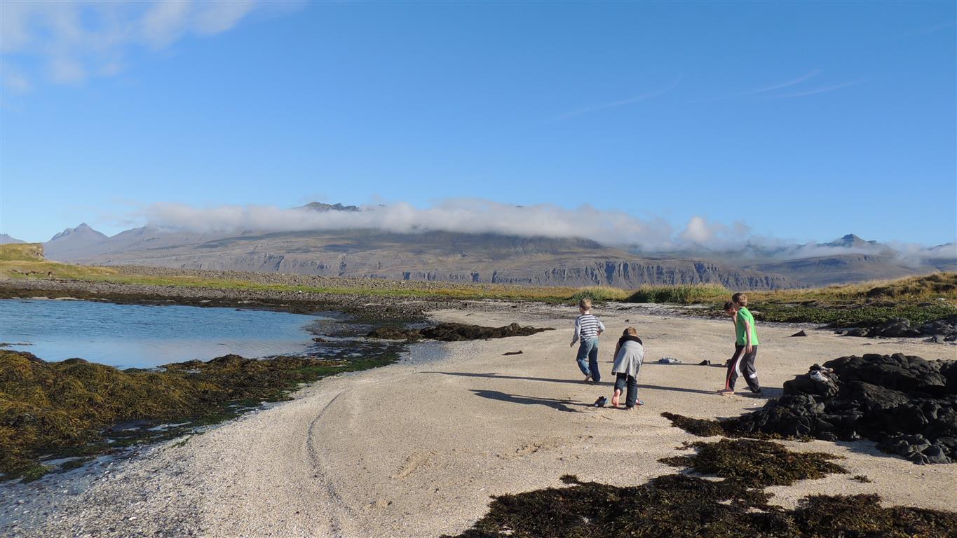
This is a popular trail along Langitangi towards Hvítisandur (White Sands) in Fálka-Jónsvík. In Summer, this area is teeming with moorland birds, ducks and seabirds. The sunset in Berufjörður is an experience itself and if Mt. Búlandstindur is visible, we recommend you stop for a while and enjoy all the beauty. This walks suits everyone, although there is a rocky spot towards the tip of Langitangi.
Accommodation nearby: Havarí Organic Farm - Hotel Staðarborg - Starmýri Cottages
Loved this article? Check our selection of hiking trails in North Iceland and South Iceland ! And to be well prepared, make sure to check out the Things to Know Before a Hiking Trip in Iceland, and Top 10 Things to Pack for a Hiking Trip !